Place
Cape Nemetskiy
Add to the journey
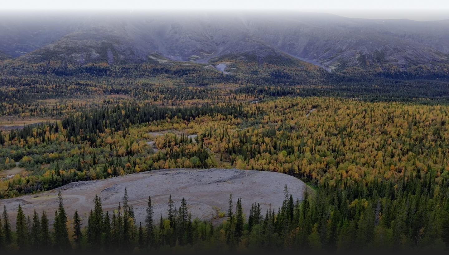
Cape Nemetskiy is located on the Rybachiy Peninsula and is the northernmost continental point of the European part of Russia.
The cape is a plateau that drops off steeply to the Barents Sea. Here you can see the unusual shape of the island-top cliffs of black color-column-shaped layered rocks. Such rocks were called kekurs by the Pomors.
In the XVI century, the cape was named Kegor – so the Pomors called deer pastures. Every spring, a thousand-strong herd of Pechenga Monastery deer was brought here to graze.
On Cape Nemetskiy is the Vaidagubskiy lighthouse – the northernmost active lighthouse in Russia. The lighthouse shines a green flashing light for a distance of up to 20 miles. A weather station is located next to it. Presumably, the name of the lighthouse comes from the Finnish word vaihto (exchange). Since ancient times, there has been a lively trade with Western Europe on the territory of the peninsula.
In the surrounding area, you can also find many echoes of the Great Patriotic War: the remains of trenches, rifle cells and fortifications.
Photo
On the map
Reviews
So far, no one has left a review. Be the first!