Excursion
Journey to Sredny-Rybachy
Add to the journey
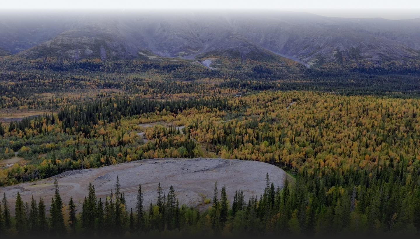
A trip to Rybachy and Sredny will allow you to plunge into the boundless northern nature for a short time.
Historically, fish were caught in the coastal waters of the Fishing Pomora. In the 16th century there were 16 fishing camps with 109 fishing huts.
In 1826, during the drawing of the border between Russia and Norway, the peninsula was assigned to Russia, despite the fact that Norwegian settlers lived here.
At the beginning of the 20th century, there were 9 colonies of Norwegians and Finns on the peninsula, in which 500 people lived. After Finland gained independence, the western part of the peninsula was ceded to the Finns, which was transferred to the Soviet Union. During the Second World War, fierce battles between Soviet and German troops took place on the peninsula. In Murmansk, a street is named in honor of the fighters who defended the strategic peninsula.
After the end of the war, these places were militarized, as it was located in close proximity to a NATO country. Currently, most of the military garrisons are closed, and only recently the territory of Rybachy became open to the public.
Murmansk – Valley of Glory — Checkpoint Titovka – Sredny Peninsula — Rybachy Peninsula — Bolshoe Ozerko Bay
You will visit
You will see
On the map
Reviews
So far, no one has left a review. Be the first!